
| Paleocurrents.com | Back to: Parshall, CO '06 |
 GPS "PARS02" Base of quarry. |
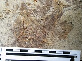
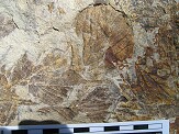
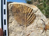
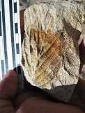
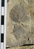
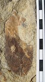
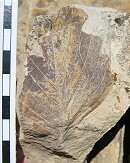
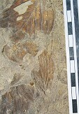
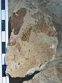
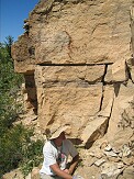 Near top of outcrop. In situ layers at top of quarry consist of two impenetrable 6 ft thick layers seperated by a fine 3-5 cm siltstone/ash layer (shadow layer in image). Fossil leaves found at base of second 6 ft. layer where Tom is digging. |
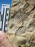
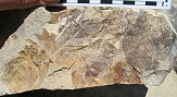
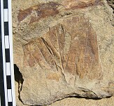
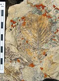
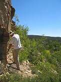 Near top of outcrop. Fossil leaves found at base where Tom is digging. |
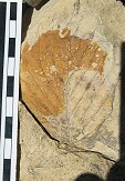
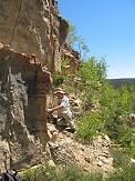 Near top of outcrop. Fossil leaves found at base where Tom is digging. |
 View from site towards camp. |
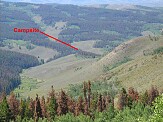 View from site towards camp. |
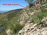 |
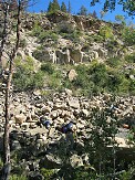
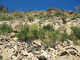 Looking up at quarry near base |
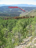
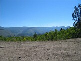 Image from west, quarry is still too distant to see |
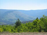 Image from west, quarry is still too distant to see |
 |
 |
 |
 |
 |
 |
 |
 |
 |
 |
 |
 |
 |
 |
 |
 |
 |
 |
 |
 |
 |
 |
 |
 |
 |
 |
 |
 |
 |
 |
 |
 |
 |
 |
 |
 |
 |
 |
 |
 |
 |
 |
 |
 |
 |
 |
 |
 |
 |
 |
 |
 |
 |
 |
Hosting donated by Wagner Database Solutions, Inc. |